The Yorkshire Wolds Way is a fantastic route for exploring some of the most beautiful countryside in England.
This section describes our suggested 'Top Ten' experiences for you to enjoy along the Trail.
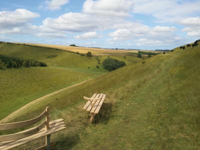
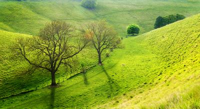
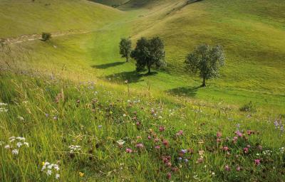
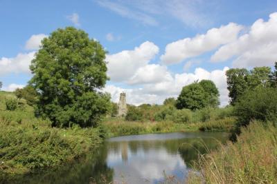
From the banks of the mighty Humber estuary, along wooded slopes and through tranquil dry valleys, it climbs gently onto the tops of the rolling hills where on a clear day “you can see forever”.
The trail covers a total of nearly 80 miles, but of course you don’t have to do it all at once! There are fantastic days out to be enjoyed along its course, a selection of which are described below.
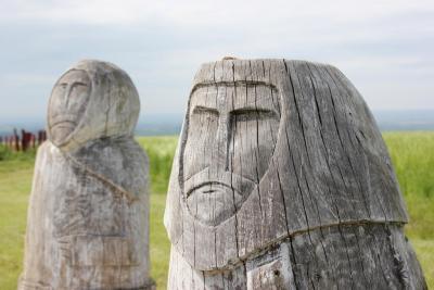
There is also secret art to discover on some of the suggested walks. You can find out more about secret art on www.yorkshirewoldssecretart.co.uk
What are you waiting for? Go and explore!
Getting around
Information on public transport is available at www.traveline.info
What to bring with you
We recommend downloading and printing a copy of our easy-to-follow walking maps, which are available for each 'Top Ten' destination along the Trail. You'll find links to download the walking maps on the pages listed below.
Suitable outdoor clothing and footwear are recommended. A map of the area is useful but not essential (Ordnance Survey map number 293, 294, 300, 301) or get a copy of the A-Z Yorkshire Wolds Way Map. You might also like to bring a pair of binoculars for spotting wildlife.
Accommodation, food and drink
Information on staying and eating locally is available at www.nationaltrail.co.uk/YorkshireWoldsWay


